Wadden at War at Ameland
-
Ameland
Wadden at War
-
Ameland
Wadden at War
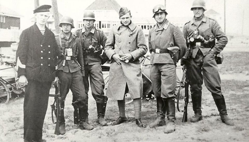
In 1676, a fleet of the German Duke of Königseck set off towards Ameland to conquer the island. All male residents of Ameland were given orders to obtain a musket, but it never came to an invasion. More than 250 years later the island was taken by the Germans after all. Go and look for the traces they left behind in the dunes of Ameland. Or go down into a real underground bunker or be moved by impressive history.
-
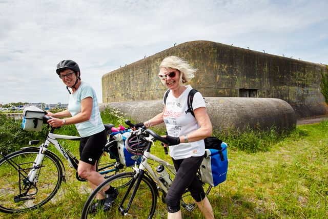
Bunker Day Ameland
Bunker Day Ameland
Join a tour of the bunkers of Ameland that are normally not open to visitors and discover their story.
-
Maritime centre Abraham Fock
Maritime centre Abraham Fock
Visit this challenging, interactive centre, where everything is about navigation, rescues, strandings and the horse-
drawn lifeboat.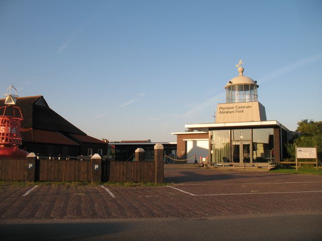
-
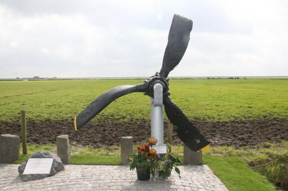
B-24 Liberator ‘Dixie Flyer’
B-24 Liberator ‘Dixie Flyer’
The distorted propeller tells a sad tale. Commemorate the tragedy that played out.
-
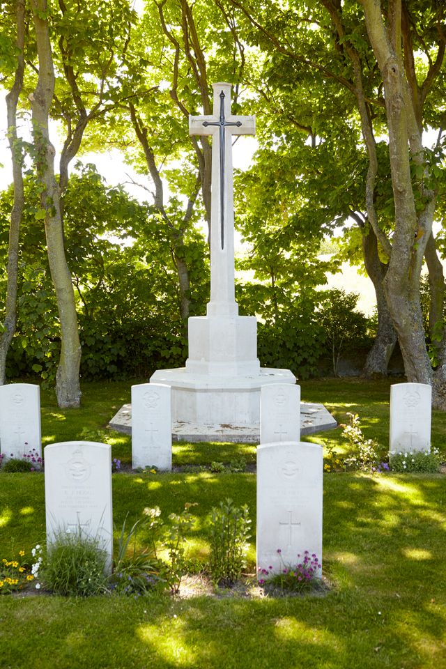
Commonwealth war graves
Commonwealth war graves
See the impressive Cross of Sacrifice and commemorate the heroes who gave their lives for our freedom.
Nearly a care-free holiday on Ameland during the war
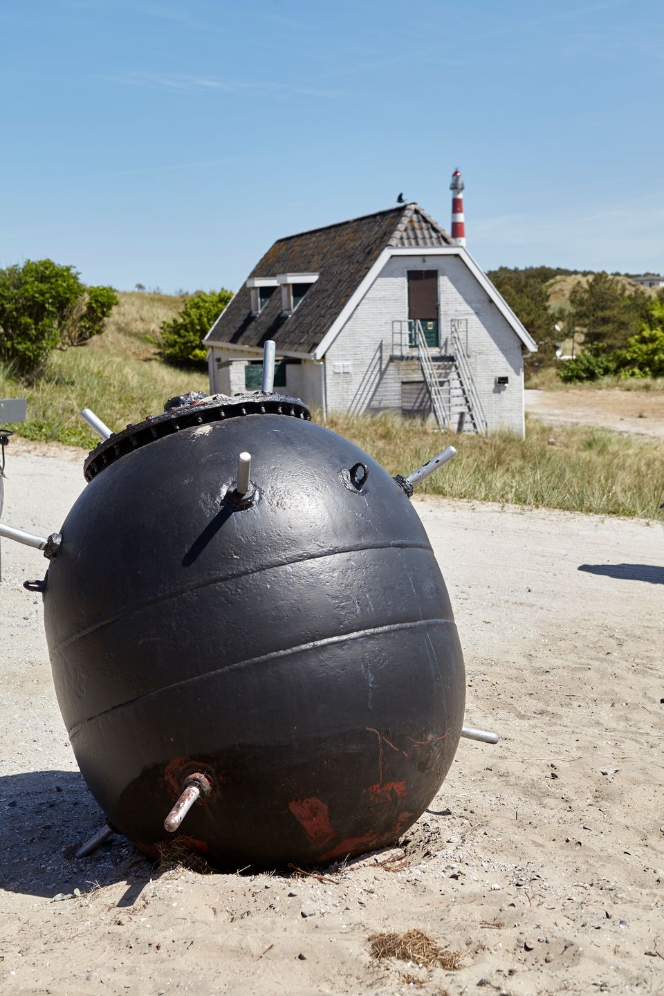
Ameland was safer than other parts of the Netherlands. Initially, holidaymakers could still visit the island. In the meantime, planes constantly flew overhead and washed up sea mines were defused.
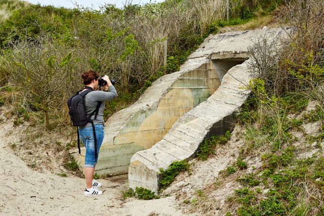
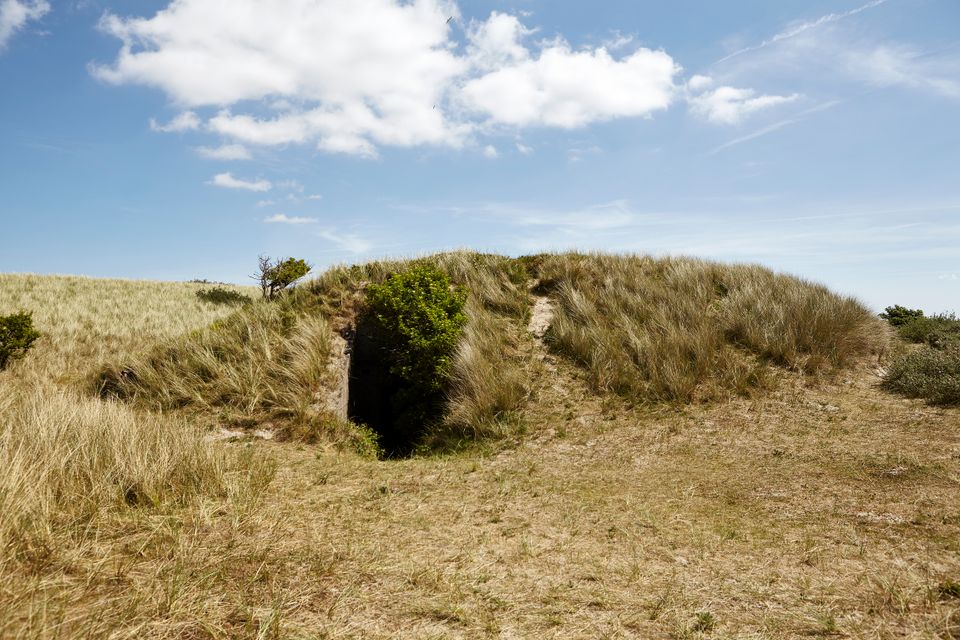
Vanished and hidden scars - in the dunes of Ameland
The Wadden landscape is seen as a natural landscape where nature dominates and has free rein. The latter has not been true for some time. For centuries, people have determined what the Wadden area looks like. For example by building terps and mounds, land reclamation, creating salt marshes and polders. During the Second World War, the Germans were also responsible for a major intervention in this landscape by building the fortifications that were part of the Atlantikwall.
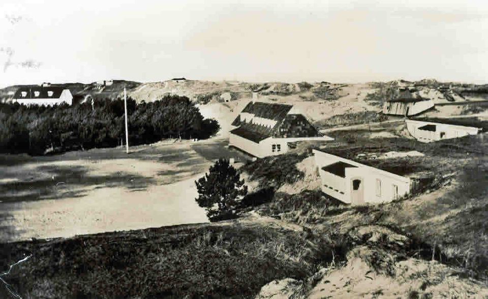
When the Germans made plans to defend the Dutch coast, they had to take account of this Wadden landscape. Just as on the other Wadden islands, the emphasis in Ameland was on air and coastal defences. The largest defensive position was on the western tip of the island near the lighthouse. This complex consisted of a number of bunkers, barracks, anti-aircraft artillery and two radar posts. The construction made keen use of the dunes.
The benefits of the dune landscape
which were a major advantage to the Germans. Construction pits could be excavated quickly, and concrete could be poured straightaway. Then it was all covered with sand immediately. So bunkers were easy to build and to camouflage. Radar systems could be put on the highest tops for a better coverage. This was a tried and tested military strategy - use the landscape, choose the best positions it has to offer and don't stand out.
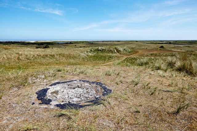
The fortifications of the Atlantikwall were a major intervention in the existing Wadden landscape. On Ameland these scars have largely disappeared or they are hidden. Immediately after the war, bunkers were demolished because of the shortage of construction materials. There is a house on the island that is built of bricks from a bunker. The Wadden landscape itself also made sure that countless bunkers disappeared into the sea or under the sand. However much humans may meddle, nature always has the last word.
-
Atlantikwall at Wadden region
Atlantikwall at Wadden region
The Atlantic Wall changed the landscape of the Wadden Islands and marked the Wadden coast. You can now see and experience the story behind this fascinating World War II heritage.
-
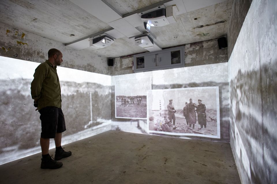
More about the military heritage
More about the military heritage
You can discover the military heritage of the Wadden region here. Join an exciting search through accessible bunkers and museums. And experience the penetrating stories behind this fascinating heritage.