
Sexbierum-St. Jacobiparochie | Klooster Claercamppad pilgrimage trail: Stage 13
Take a look
View all 8 pictures
The last stage of the Klooster Claercamppad pilgrimage trail takes you from the village of Sexbierum to Sint Jacobiparochie, the starting point of one of the routes to the great pilgrimage site of Santiago de Compostela.
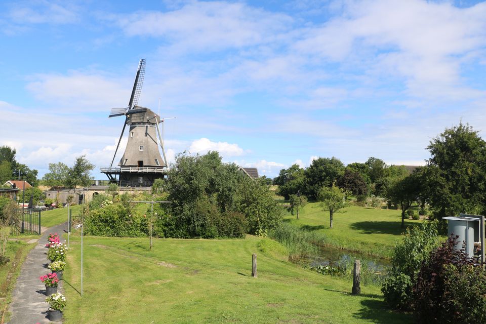
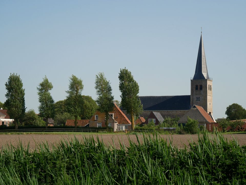
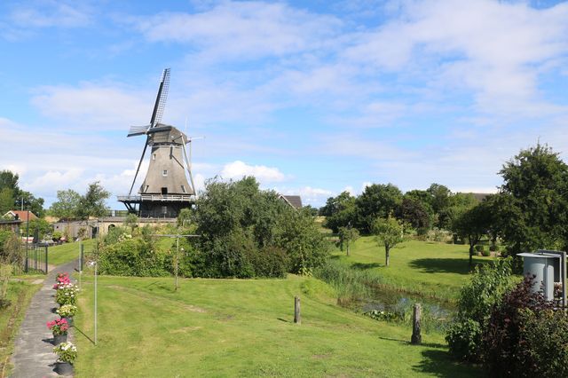
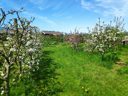
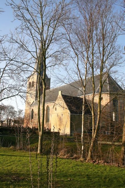
At the village of Sexbierum, which was built on a salt marsh, you can see a medieval fortified manor with an old gatehouse, the 12th-century Sixtus church with its lavish furnishings, a Dutch Reformed Church built in the style of the Amsterdam School and a historic windmill surrounded by a garden with old varieties of fruit trees and plants.
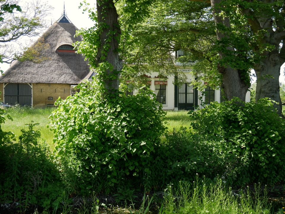
The trail takes you past Latsma State country h…
The last stage of the Klooster Claercamppad pilgrimage trail takes you from the village of Sexbierum to Sint Jacobiparochie, the starting point of one of the routes to the great pilgrimage site of Santiago de Compostela.
At the village of Sexbierum, which was built on a salt marsh, you can see a medieval fortified manor with an old gatehouse, the 12th-century Sixtus church with its lavish furnishings, a Dutch Reformed Church built in the style of the Amsterdam School and a historic windmill surrounded by a garden with old varieties of fruit trees and plants.
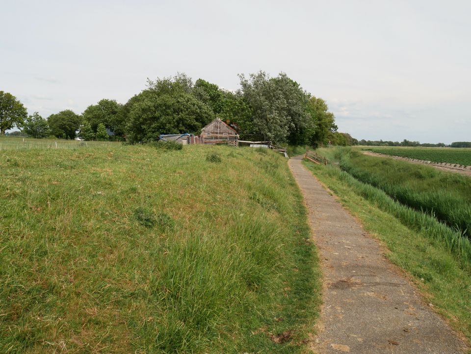
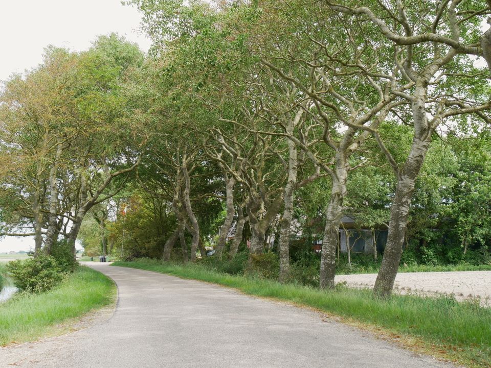
The trail takes you past Latsma State country house, along Fiskerspaed lane between fields of potatoes, carrots and beets to the sea dike. Just before the sea dike, you will see an old drainage ditch that is now a stopping place for meadow and water birds. You walk along the sea dike for a while then turn right onto the Slachtedyk dike, a famous secondary or ‘sleeper’ dike that leads to the village of Oosterbierum.
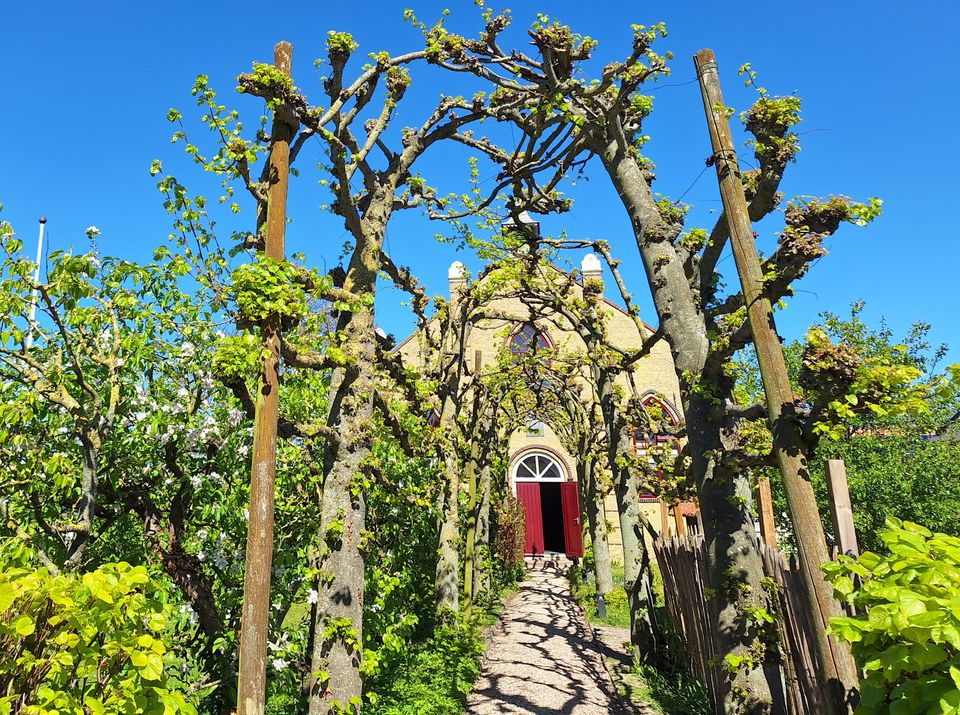
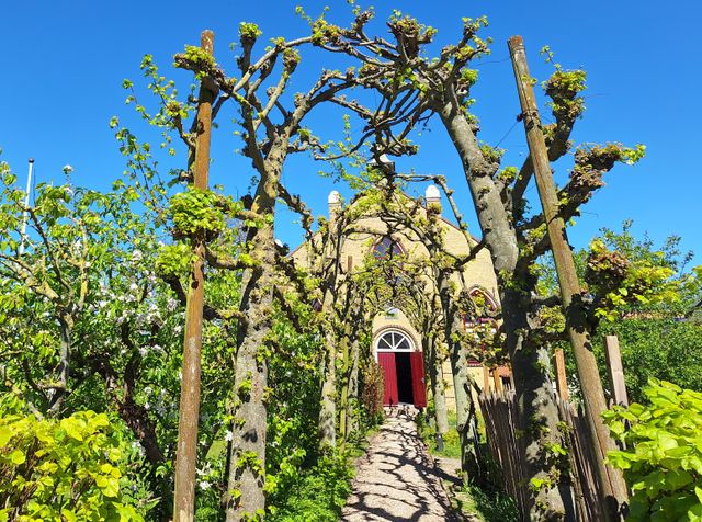
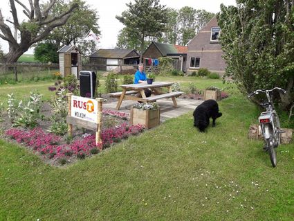
A winding crushed-shell path leads to a monastery garden inspired by Lidlum monastery, which once stood on Kapellewei road to the east of the village. This garden was planted on land that belongs to the Sint-Joriskerk (St George) church, further down the road. Just as the old monastery was a place where lay brothers worked together, the new monastery garden forms a bond between many of the villagers.
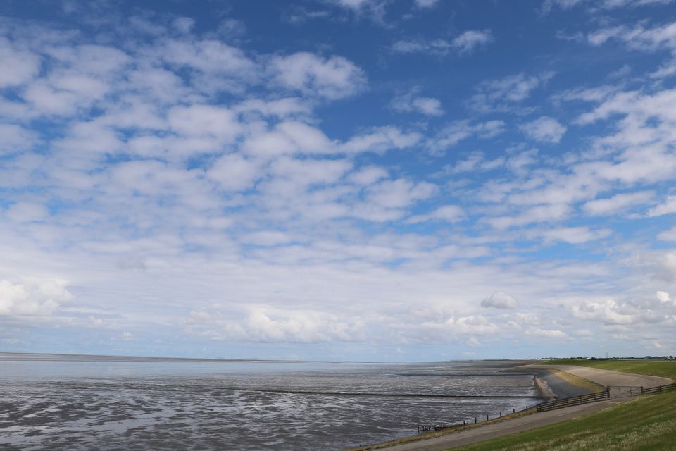
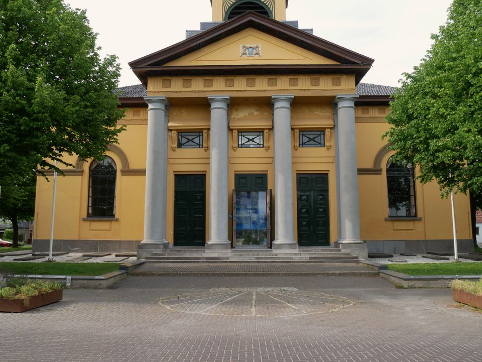
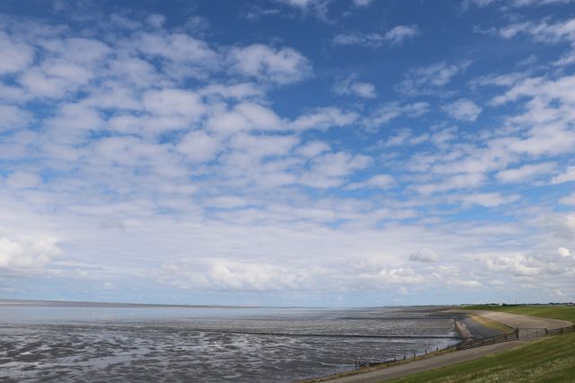
Now back to the Wadden Sea one last time. Then along the Griene Dyk dike through the farmland of Friesland to the Groate Kerk church at Sint Jacobiparochie. The stunning views of the polders of the Het Bildt region from the top of the dike make for a wonderful end to the Klooster Claercamppad pilgrimage trail.
This route is part of the Klooster Claercamppad pilgrimage trail.
Locations on this route
-
-
Sexbierum (Seisbierrum)
Sexbierum (Seisbierrum)
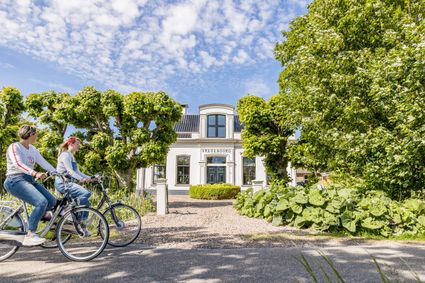
Slow down and unwind on the Frisian Wadden coast. Visit the Frisian twin village of Sexbierum-Pietersbierum.
-
48
-
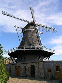
Molen De Korenaar Sexbierum
Molen De Korenaar Sexbierum
An authentic venue that is ideally suited to your event. The windmill features two rooms, a bar and a large garden.
-
47
-
19
-
78
-
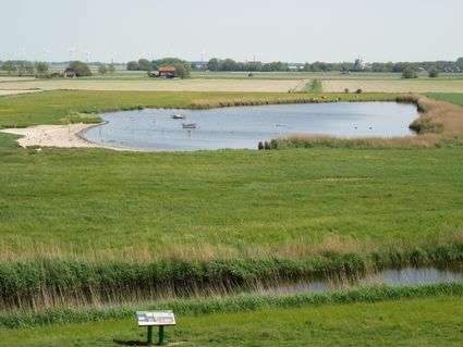
Dyksputten
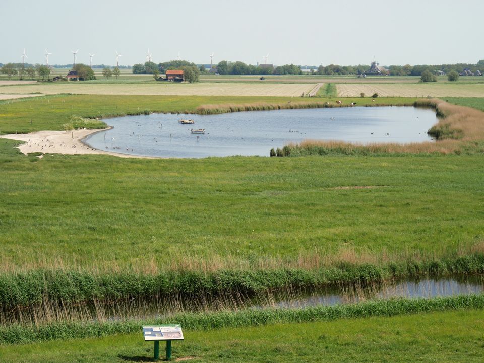
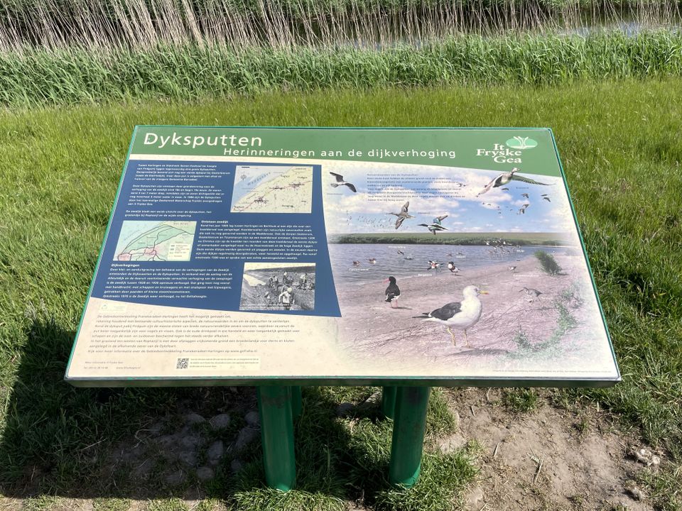
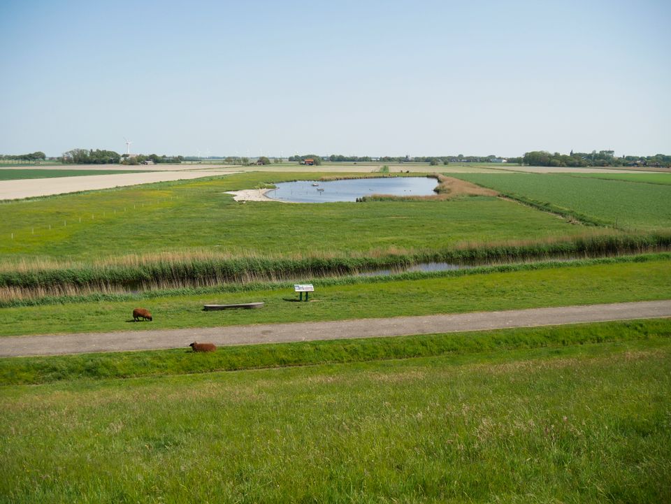
Dyksputten are historic clay pits along the Frisian Wadden Sea dike. They were created in the 19th century by extracting clay, which was used to raise and strengthen the sea dike.
DyksputtenDyksputten
Dyksputten are historic clay pits along the Frisian Wadden Sea dike. They were created in the 19th century by extracting clay, which was used to raise and strengthen the sea dike.
The Dyksputten can be found at several locations in the area behind the sea dike around the villages of Sexbierum and Oosterbierum, in the municipality of Waadhoeke.
Today, these low-lying, brackish nature areas provide resting and breeding grounds for birds and rare plant species. Some of the Dyksputten are as deep as 3 metres.
-
-
14
-
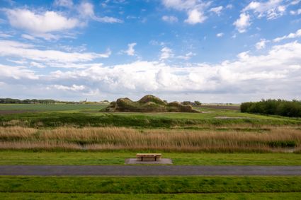
Dijk van een Wijf
Dijk van een Wijf
Along the Wadden Coast, near Oosterbierum, a landscape artwork is taking shape. It stretches across the land, formed from clay and sand.
-
71
-
-
-
Oosterbierum (Easterbierrum)
Oosterbierum (Easterbierrum)
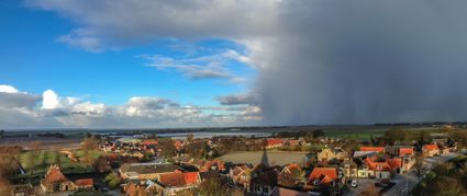
Oosterbierum, located on the Wadden Sea, is a small village with around 500 inhabitants. From the dike, you have a beautiful view of the surrounding area. On clear days, you can even see the islands of Vlieland and Terschelling.
-
-
64
-
37
-
36
-
62
-
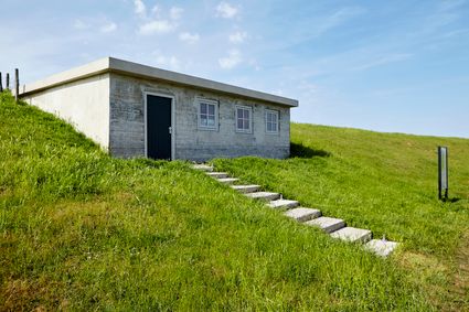
Bunker Koehoal
Bunker Koehoal
The only remaining bunker of the Koehoal Defense Line is a lasting reminder of the air war over Friesland.
-
32
-
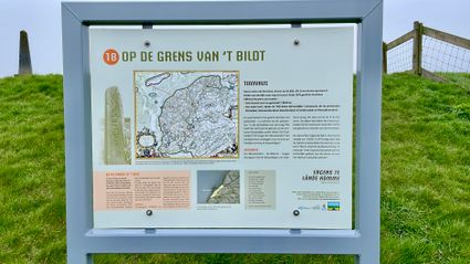
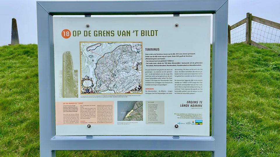
De Terminus
The boundary marker ‘de Terminus’ on top of the dike marks the boundary between the new and the old land.
De TerminusDe Terminus
The boundary marker ‘de Terminus’ on top of the dike marks the boundary between the new and the old land.
This boundary marker indicates the division between the old land and the newly reclaimed land. The land reclamation was highly valuable, creating new fertile agricultural land to cultivate. However, a dispute arose over who had the right to this land: the people of the old land or those of the newly reclaimed land.
Ultimately, the land went to the people of the newly reclaimed land. Today, land reclamation has ceased in order to protect the beautiful nature outside the dike.
-
-
30
-
10
-
25
-
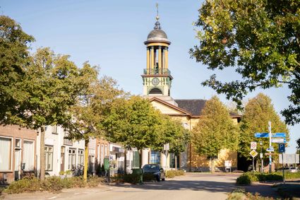
Sint Jacobiparochie (Sint-Jabik)
Sint Jacobiparochie (Sint-Jabik)
Sint Jacobiparochie was established in 1505 when Het Bildt was reclaimed by laborers from South Holland, Zeeland, and Friesland. It is particularly well-known for the Groate Kerk (Great Church), serving as the starting point for the pilgrimage route called the Jabikspaad.
-
26
-
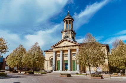
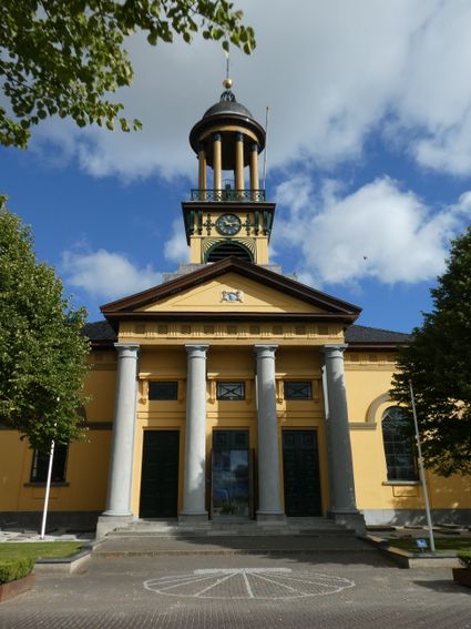
Groate Kerk church in Sint-Jacobiparochie
Groate Kerk church in Sint-Jacobiparochie
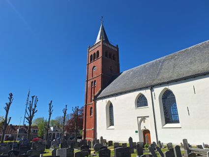
The imposing Groate Kerk church in the town of Sint Jacobiparochie has served as a cultural centre for the Het Bildt region for several decades, hosting concerts, meetings and other events.
-
- 48
- 47
- 19
- 78
- 14
- 71
- 64
- 37
- 36
- 62
- 32
- 30
- 10
- 25
- 26