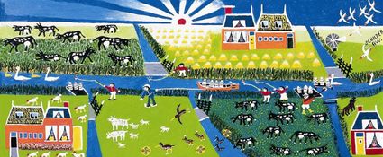
Cows in dunes and the Vennoot marshlands
-
Cows in dunes
and salt marshes of The Associate
A rough grassland area without dikes on Eastern Ameland is the communal property of 560 shareholders. The Vennoot offers extraordinary cultural history and beautiful landscape.
The Vennoot
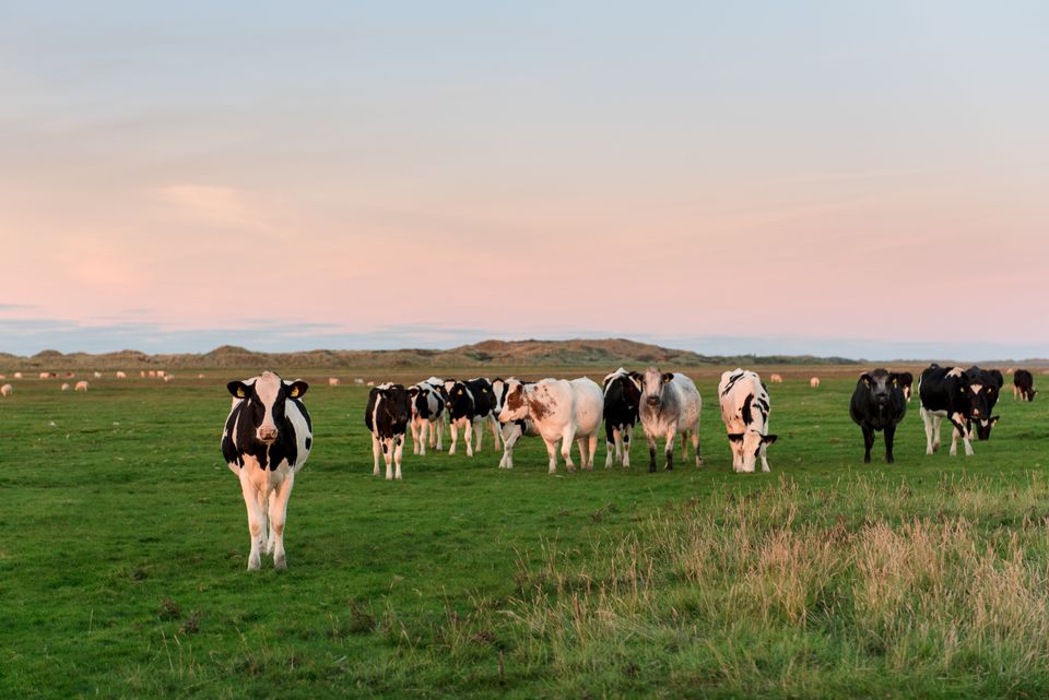
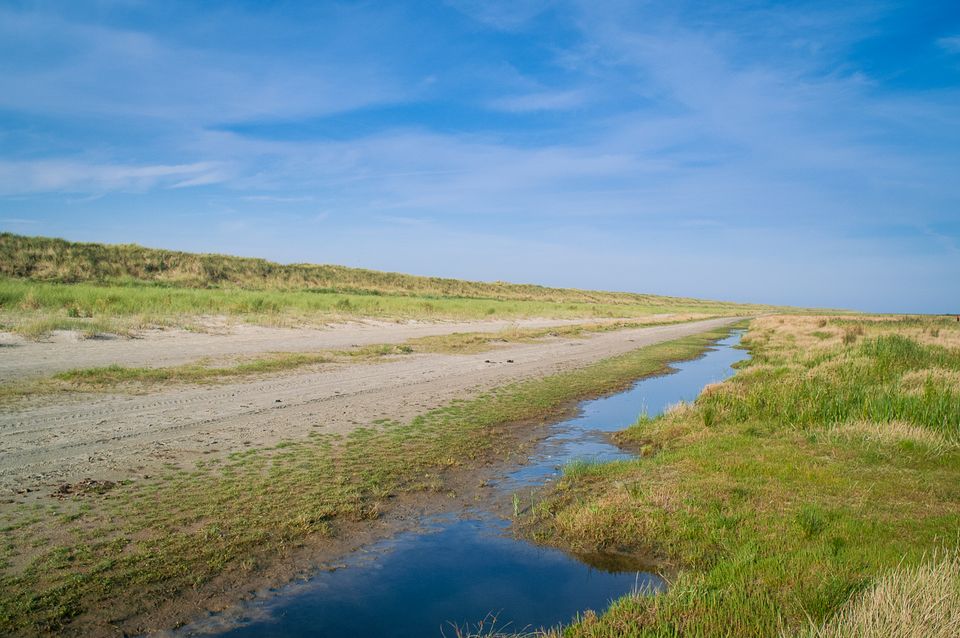
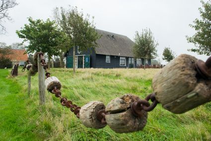
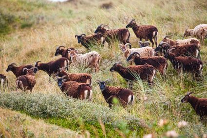
It’s a unique sight: cattle in the dunes, in the marshland and sometimes even dipping their hooves in the mud near the Wadden Sea. The Vennoot is located east of Buren, a rugged area without any dikes or ditches. But there are channels. You'll spot cows, horses and sheep from several local farmers grazing to their heart’s content.
The communal property is regulated via 560 inheritable shares. The Vennoot offers some extraordinary cultural history as well as surprisingly beautiful landscape. Islanders like to go there for its silence and vastness. It is owned by the ‘BV Maatschappij tot Exploitatie van onroerende goederen op het Oosteinde Oerd en Neerlands Reid BV’. Or the Vennoot for short, a name also used for the area. The Neerlands or Nieuwlands Reid marshlands cover most of the area, with the northern part being appropriately called Zoute Weide (salty meadow).
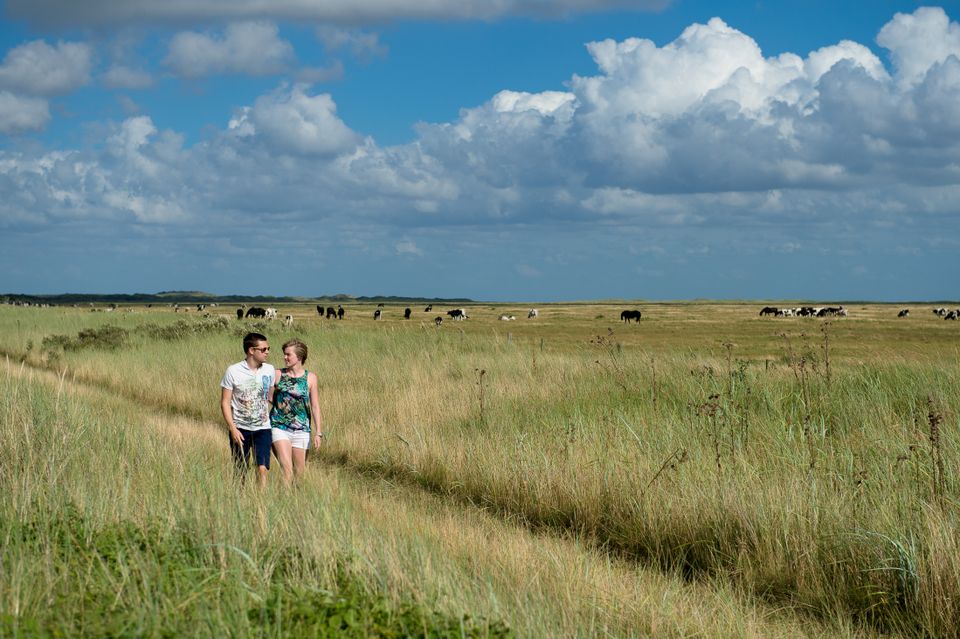
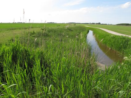
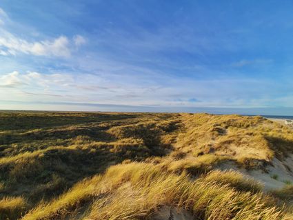
You can see the Vennoot from the bike path near the Kooioerdstuifdijk, which runs along almost its entire length. There were already communal pastures and lands for growing hay here centuries ago since this is common for the dikeless areas of Ameland. In the late 18th century a large flood from the North Sea resulted in a barren sand area between the Kooiduinen and the Oerd which remained unusable for quite a long time. This changed when the drift dike, which should prevent the island from breaking in two, was built in 1893.
Agrarian past
The drift dike created dunes on the North Sea side. Marshlands were created on the south side, making it possible for cattle to graze again. The agricultural use was strictly regulated. Farmers in Buren who had a smoking chimney all year long were allowed to use the lands: the skó'stienrecht (chimney right). The farmers established a cooperative for the 560-hectare terrain in 1920. 560 shares were issued at 50 guilders per share. One share still gives the right for two sheep, one yearling, half a cow or half a horse to graze between 1 May and 1 December. In the beginning shareholders took turns herding the cattle but the Vennoot has a shepherd now. He makes his 3.5-hour round twice a day.
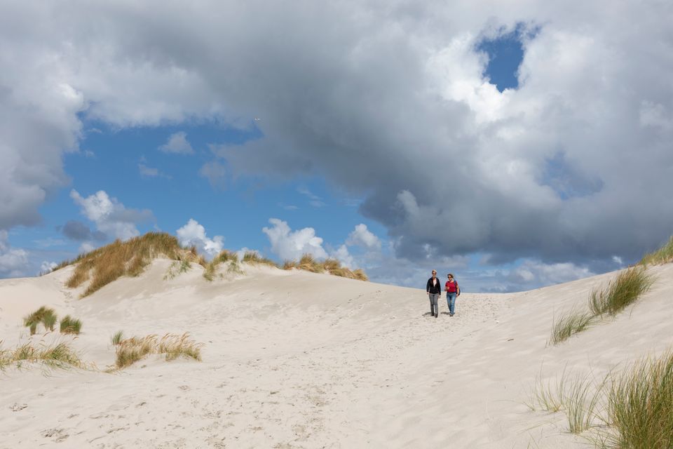
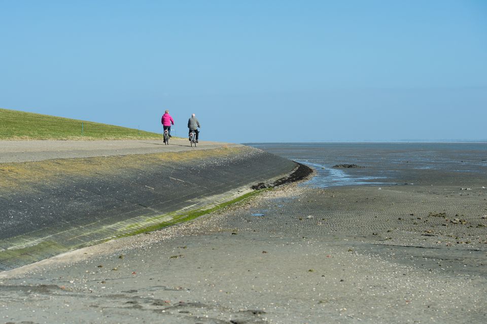
Inpoldering was considered at one time due to the frequent flooding. Sometimes when an unexpected storm drew in the farmers could literally see their hay floating away to sea. Currents and waves also corrode the embankment. But these plans were never carried out so the Vennoot provides a unique insight into the agricultural history of the Wadden. To get a really good view, cycle all the way down to the Oerdhut and climb the Oerdblinkert, the highest point on Ameland. In addition to beautiful views of the Wadden Sea and the Oerd and Hôn nature reserves, you can also see the landscape where humans and nature have tried to co-exist for centuries, for better or for worse.
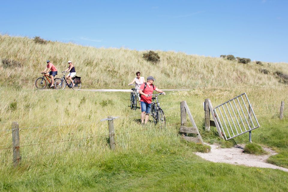
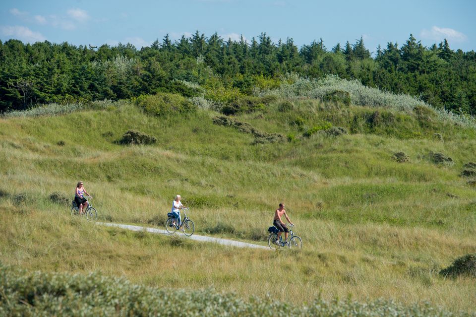
Route: Fietsen en klimmen
Cycle past rough pastures and hay meadows to the nature reserve 't Oerd and climb the Oerdblinkert.
Distance: 12 kilometers | Length: approximately 55 minutes
View the route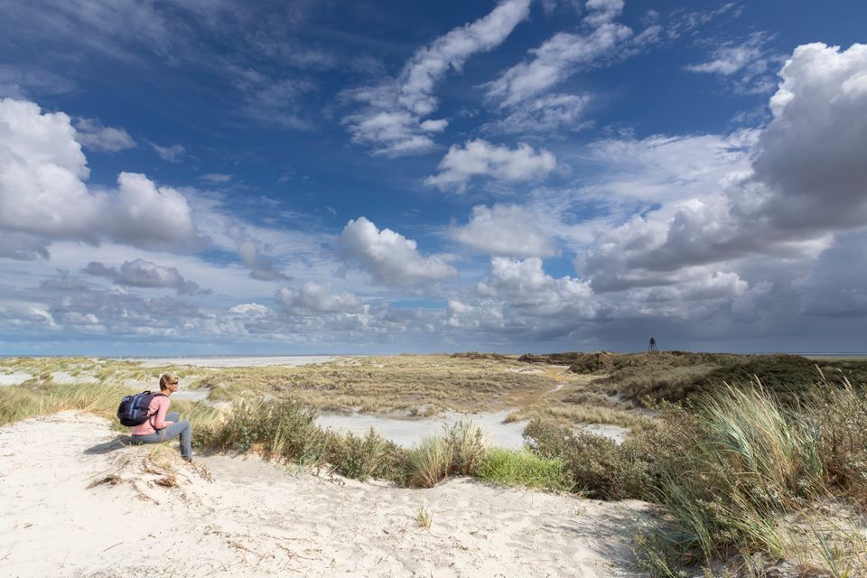
Discover more - The nicest locations on Ameland
-
Restaurant StrAnders
Restaurant StrAndersSustainability info
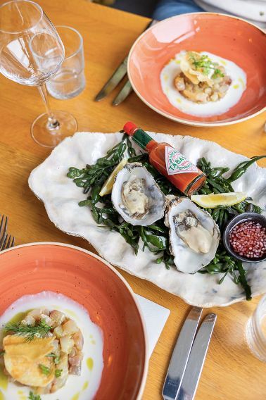
Time for some delicious fish! Amidst the vast meadows and the forest, just outside the village of Buren is the unique Restaurant StrAnders located....
Strandweg 71
9164KA Buren -
Hotel Zee van Tijd
Hotel Zee van Tijd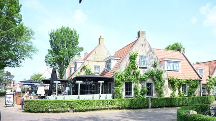
Come stay at Hotel Zee van Tijd on Wadden island Ameland. the hotel is located in Nes in the town center and just 10 minutes away from the beach.
Rixt van Doniastraat 18
9163 GR Nes -
Lighthouse Bornrif Ameland
Lighthouse Bornrif Ameland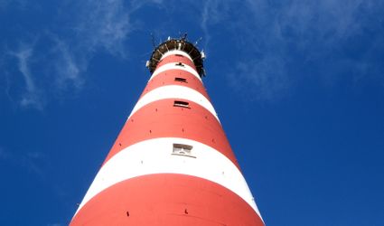
An impressive appearance on the island is the lighthouse, built in 1880 of cast iron and 55 metres high. Since 2005, the lighthouse isn't used by t...
Oranjeweg 57
9161 CC Hollum -
Horseback riding Ameland
Horseback riding Ameland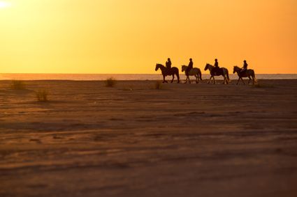
Enjoy the beautiful nature, peace and space famous for horse island Ameland. Look at nature from the back of a horse.
Bureweg 2
9163 KE Nes -
Nobel
Nobel
In the heart of the authentic village of Ballum, located on the island of Ameland, with its centuries-old houses and the artisan streets that are r...
Gerrit Kosterweg 16
9162 EN Ballum -
Restaurant 't Koaikershuus
Restaurant 't Koaikershuus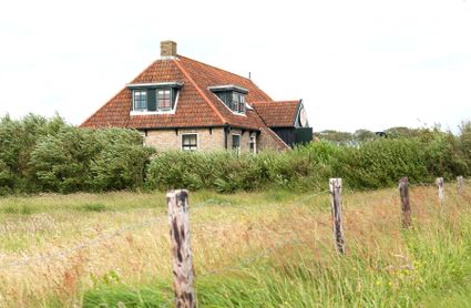
Restaurant 't Koaikers Huus is uniquely located next to 'de Nassaukooi' on one of the most beautiful spots of Ameland. For centuries the kooiker fa...
Kooiplaats 6
9164 KN Buren
Continue reading? - Also discover these stories about Ode to the Landscape
-
What the Haubargs tell you about the landscape
Noord-Holland
When you see square farms with pyramid-shaped roofs, you know you’re in North Holland. But did you know that these Haubargs have a great deal more to reveal about the landscape?
-
Land of freethinkers
Friesland
Space around you gives you space in your head. Maybe that's why the Wadden coast south of Harlingen has produced so many freethinkers, like Menno Simons, throughout the centuries.
-
Potatoes and pilgrims
Friesland
Het Bildt is relatively new land. The inpoldering began in early 1505 and took about two and half centuries. The result was rich agricultural land perfect for cultivating, for example, bildtstar potatoes.
-
A rich past
Friesland
Walls, wooden shoes, milk cans. Naive painter Ruurd Wiersma created paintings on everything in his surroundings. They give wonderful insight into farm life on the Frisian clay north of Dokkum.
-
Island without farmers
Vlieland
Vlieland has all of the landscape you would expect on a Wadden island. But there are no pastures. Vlieland is an island without farmers.
-
Surprising landscape
Terschelling
You can still see them on the edges of the pastures and now they even shield visitors from the sun and wind. The alder boulevards on Terschelling are unique to the Wadden.